Skip to content
StatMap Book a discussion

Insights

Insights

Strategic guidance and practical thinking for local authority GIS, gazetteer, case-management and public-service teams.

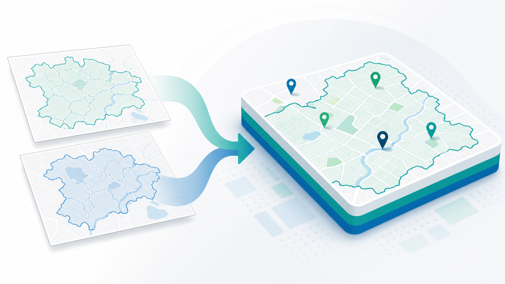
Boundary maps and spatial data consolidated into a clearer civic data foundation

Strategic guidance and practical thinking for local authority GIS, gazetteer, case-management and public-service teams.

Technical videos and product demos

Short product walkthroughs showing how StatMap products support GIS, gazetteers, TRO, public portals and spatial-data workflows.

Current guidance themes

Local Government Reorganisation

Plan the data, systems and service questions that sit behind boundary, structure and platform change.

Gazetteer consolidation

Review LLPG, LSG, addressing and street data before service redesign, migration or shared working.

Spatial data migration and quality

Assess source data, matching rules, validation, transformation and migration routes before the build starts.

Corporate GIS strategy

Use web mapping, permissions, layers and integrations to make spatial data useful across service teams.

Planning and Building Control integration

Connect case records, GIS, documents, consultations, portal access and reporting across built-environment services.

Local Land Charges migration

Prepare land charges data, maps, searches and public-service expectations for modernised workflows.

TRO data and public access

Think through restriction mapping, order editing, consultation, publication and open public access.

Public portals

Design public search, tracking, comments, accounts and submissions around the service journey.

Need practical advice on a GIS or data project?

Talk to StatMap about the service area, datasets and implementation path you are planning.