
UPRN linking
Connect records to UPRNs to support reporting, integration and service workflows.
Data Services
Support for using address and gazetteer data across GIS, case-management, public portal, reporting and data-integration workflows.
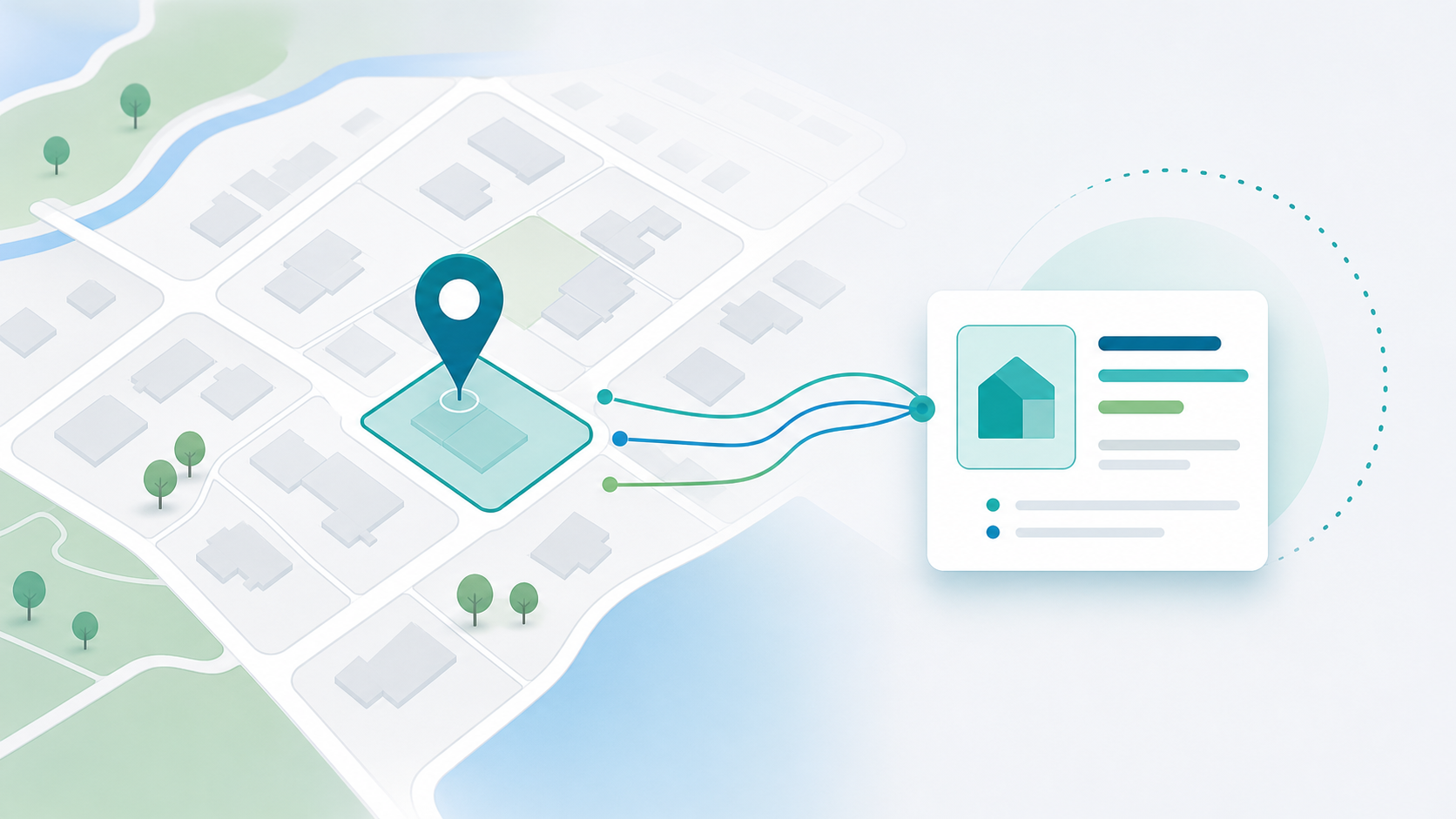
Address and property data underpins LLPG and LSG workflows, UPRN matching, planning, building control, land charges, public portals, GIS search, reporting and integration with other systems.
When address data is consistent and well connected, teams can link service records to properties, streets, coordinates, boundaries and reporting geographies more reliably.
Match existing service records to properties and UPRNs with Resolve, powered by MatchGB, and review ambiguous addresses with clear evidence.
Connect records to UPRNs to support reporting, integration and service workflows.
Prepare address and street data for migration, integration or service use.
Support address-led workflows connected to local land and street gazetteers.
Use AddressBase-style datasets where licensed and configured for the authority.
Connect address-based records to coordinates and GIS workflows.
Identify duplicates, incomplete records, inconsistent formats and ambiguous matches.
Connect address data with GIS, case-management, reporting and third-party systems.
Prepare suitable address and location data for public-facing search where implemented.
Customers may manage addressing data themselves or work with StatMap to support managed addressing workflows, depending on licensing, source data and service arrangements.
The right model should be agreed around the authority's gazetteer responsibilities, data sources, update approach, public-facing services and integration needs.
Manage LLPG, LSG and addressing workflows with browser-based spatial context.
Match address-based records to coordinates, UPRNs and reporting geographies.
Move address data between GIS, gazetteers, case-management systems and reporting tools.
Plan addressing work as part of wider spatial data migration, consolidation and support.
Talk to StatMap about address matching, UPRN linking, LLPG/LSG workflows, geocoding and service integration.