
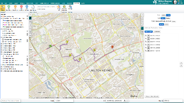
GIS
Corporate GIS & web mapping
Browser-based corporate GIS, web mapping, editing and spatial analysis for internal users.
StatMap helps local authorities connect spatial data with the operational services that depend on it: mapping, addressing, planning, building control, land charges, traffic orders, public access and data integration.
Browser-based corporate GIS, web mapping, editing and spatial analysis for internal users.
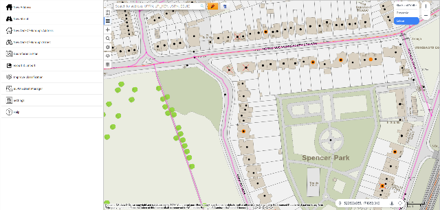
LLPG and LSG management with integrated mapping, addressing workflows and hub submission support.
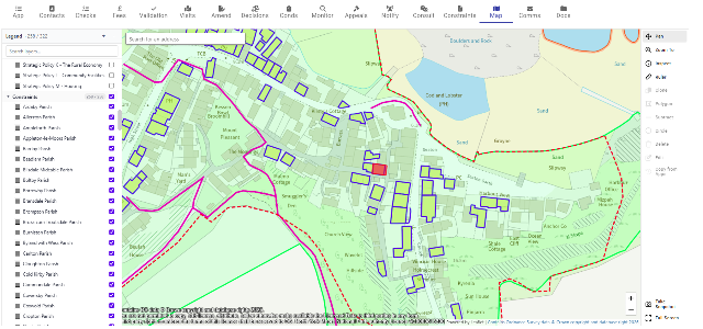
Development management case processing with documents, addressing, GIS and public portal options.
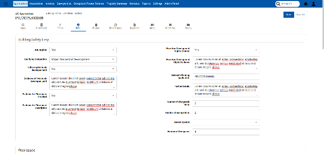
Building control applications, inspections, documents and mobile working in a browser-based service.
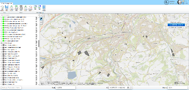
Workflow-led land charges processing with map-led searches and spatial data dependencies.
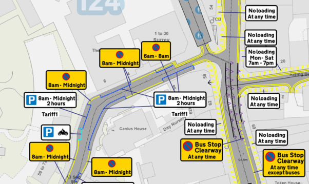
Map-led TRO creation, editing, consultation and data sharing for highways teams.
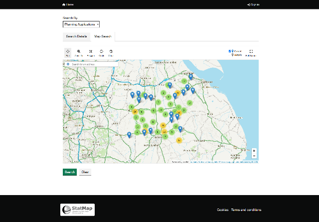
Public-facing search, application submission and spatial information services.

Hosted OS mapping, WMS, WMTS, WFS, addressing and data services for council systems.
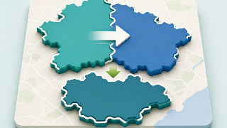
Support for councils consolidating gazetteers, GIS platforms, statutory service data and public portals.
Talk to StatMap about the service area, data dependencies and implementation path you are planning.