
Data migration
Move legacy spatial, address or service data into an agreed platform, repository or workflow.
Data Services
Support for moving, transforming and connecting spatial data between GIS, gazetteers, case-management systems, public portals, reporting tools and third-party systems.
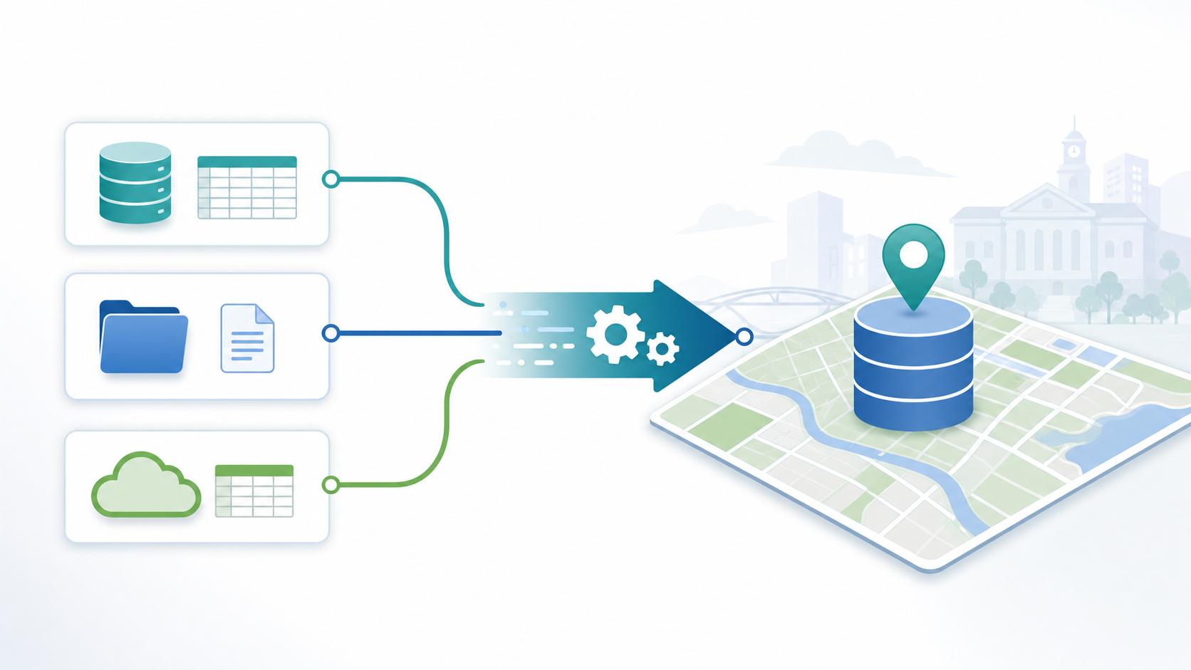
Local authority spatial data often needs to move between GIS layers, gazetteers, address systems, case-management modules, public portals, reporting tools, databases, files, extracts and third-party services.
Integration work is rarely just a file conversion. The data needs to be understood in context: who owns it, how often it changes, which service depends on it, how it should be checked and what the destination system expects.
Move legacy spatial, address or service data into an agreed platform, repository or workflow.
Extract, transform and load data between agreed sources and destinations where configured.
Restructure fields, clean values, convert formats and prepare records for use.
Support regular data exchange where the source, destination and timing have been agreed.
Work with files, extracts, databases and services according to project requirements.
Check geometry, attributes and business rules where validation rules are configured.
Connect LLPG, LSG, UPRN and address-led data with GIS and service workflows where licensed.
Prepare datasets for reporting, dashboards or operational review.
Plan data exchange with other systems where suitable access and interfaces are available.
Prepare appropriate published data for public-facing search or portal services where implemented.
DataPump ETL is StatMap's extract, transform and load capability for configured data movement and preparation work. It can help move spatial data into StatMap platforms, prepare extracts for connected systems and support repeatable data workflows where that is part of the implementation.
The exact sources, destinations, schedules, formats and validation rules should be agreed for the project. Real-time or near-real-time data exchange should only be assumed where the source systems, interfaces and support model are designed for it.
Data quality checks can help identify issues before or after migration, import or integration activity, depending on the datasets and configured rules.
Check geometry and spatial relationships where appropriate rules are configured.
Identify missing, invalid or unexpected geometry before data is relied on.
Review required values, formats, ranges and coded fields.
Apply project-specific rules that reflect service requirements and data ownership.
Test loaded data against agreed acceptance criteria.
Create outputs that help data owners review and resolve issues.
Address data, LLPG, LSG, UPRN and AddressBase-style datasets often need to connect with GIS, case-management systems, reporting datasets and public-facing services. Licensing, data-source availability and update arrangements should be confirmed for the project before implementation decisions are made.
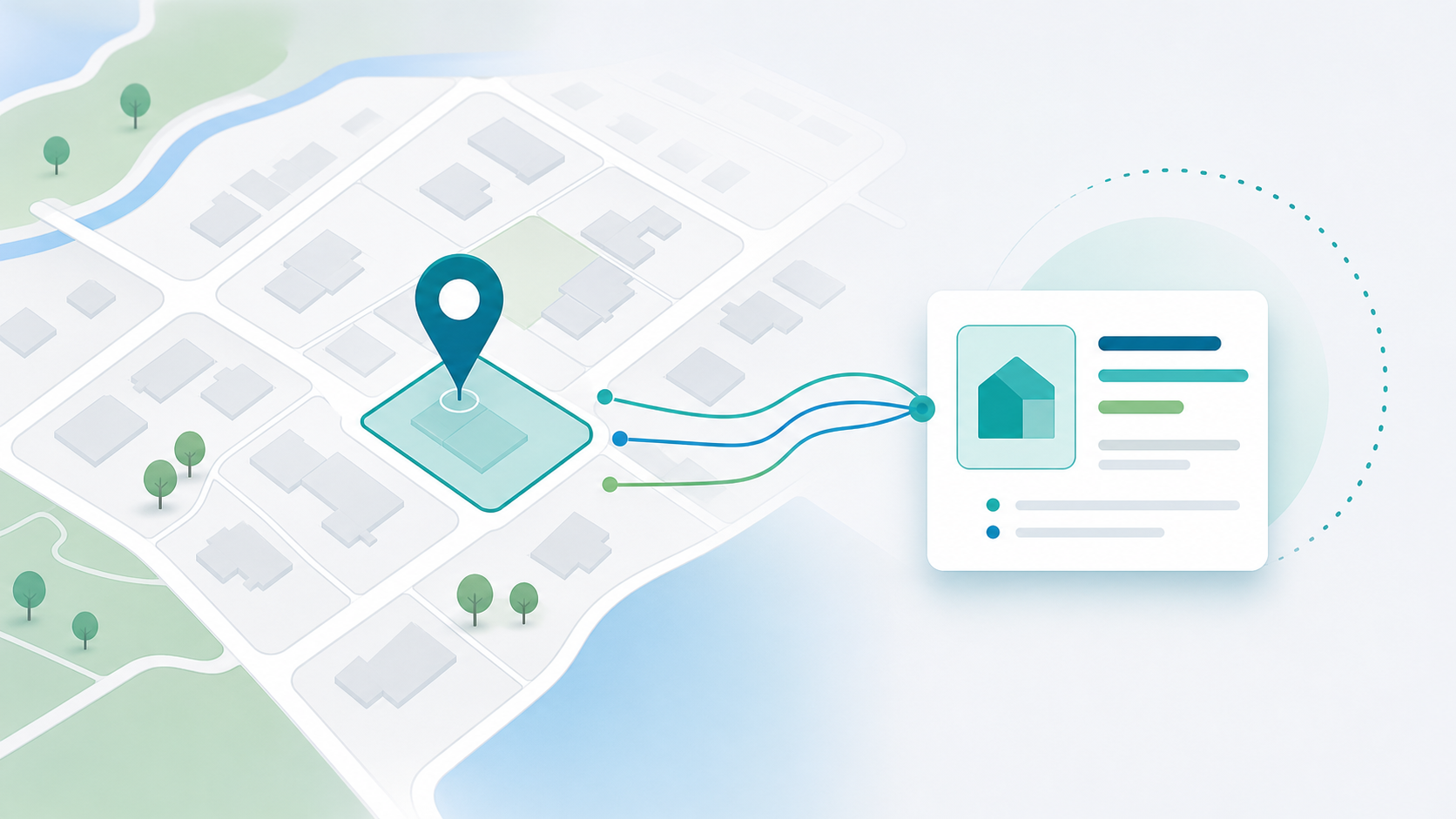
Plan data consolidation across gazetteers, GIS platforms, case-management systems and public portals.
Use integration work as part of a wider spatial data audit, migration or consolidation plan.
Prepare spatial layers and data access for browser-based GIS.
Connect address and street data with downstream services.
Prepare application, inspection, document and spatial data flows.
Support published datasets, search data and public-facing workflows where implemented.
Talk to StatMap if you are migrating data, connecting GIS and case-management systems, preparing reporting datasets or reviewing spatial data flows.