
Restriction mapping
Create and review mapped restrictions in the context of streets, basemaps and related records.
eVO TRO
Manage Traffic Regulation Orders through browser-based mapping, restriction editing, gazetteer support, public-facing information and data sharing workflows.
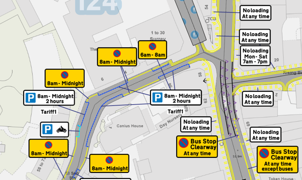
Traffic Regulation Orders depend on streets, restrictions, geometry, order schedules and public-facing information. Officers need to understand how lines, polygons, street data, basemaps, amendments and revocations relate to the same place on the ground.
eVO TRO brings those workflows into a browser-based mapping environment so councils and highways authorities can manage restriction data, review spatial context and prepare outputs for wider use.
Create and review mapped restrictions in the context of streets, basemaps and related records.
Work with line-based and polygon-based restriction geometry where those data models are required.
Use visual styles to make restrictions clearer for officers and public-facing map users.
Use mapping tools to support tracing, measuring and reviewing restriction lengths.
Support workflows where restrictions need to be split, grouped or adjusted.
Review affected restrictions and support amendment or revocation workflows where configured.
Use street and address context from local gazetteer data where configured.
Work with OS basemaps and maintained mapping services where those are part of the deployment.
Publish or share appropriate TRO information with public-facing services where implemented.
Prepare outputs for colleagues, public portals or third-party systems using suitable data-sharing methods.
TRO work needs accurate map-led editing. eVO TRO mapping tools can help officers trace and edit restrictions, review restriction lengths and work with line or polygon geometry against configured basemaps.
Restriction styles can reflect the way restrictions appear on the street, which helps officers review what has been captured. Measuring tools can support review of restriction lengths and location. Street View integration can support review where configured, giving officers extra street-level context without turning it into the source of record.
Street and address context is important when managing Traffic Regulation Orders. Where configured, eVO TRO can work with local gazetteer data and hosted address or street services so users can search, locate and review records in context.
Connect TRO workflows with street and address data that officers already use across the authority.
Use hosted basemaps, addressing and spatial data services alongside TRO workflows where appropriate.
TRO teams need to understand which restrictions are affected by a proposed change. eVO TRO can support review of restrictions scheduled for revocation, help users understand affected features and support partial revocation workflows where configured.
The aim is to make change management clearer: what exists now, what is being amended, which records are affected and what information needs to be retained for the order process.
TRO data often needs to be shared beyond the traffic orders team. Colleagues, public portals, consultation services or third-party systems may need appropriate views, outputs or data feeds.
Publish appropriate TRO information through public-facing services where implemented.
Plan extracts, feeds or integrations so TRO data can be used by other systems and services.
eVO TRO uses StatMap's wider web mapping and eVO platform approach. That means Traffic Regulation Orders can sit alongside corporate GIS, spatial data services, gazetteer data and public-facing information.
For authorities reviewing wider GIS provision, TRO can be considered as part of the same platform conversation as Earthlight, hosted data services and other map-led workflows.
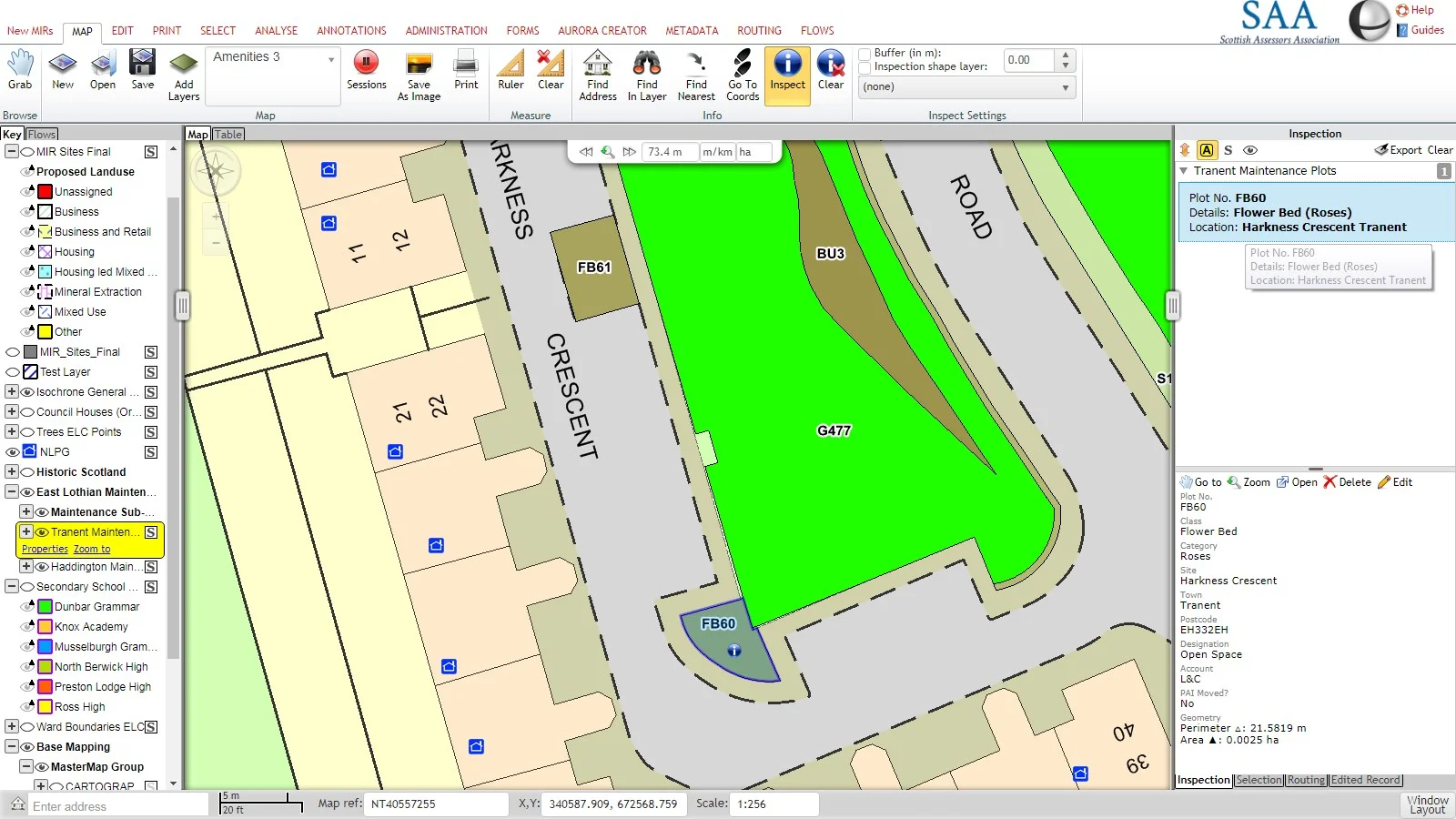
TRO implementation is often about data as much as software. Existing restrictions, order schedules, geometry, gazetteer links, public information and integration requirements all need to be understood before migration or go-live.
Support review and migration of existing TRO data, geometry and related records.
Plan configuration, data preparation, roles, outputs and integration points before launch.
Help officers and administrators understand the workflows and tools they need to use.
Provide a support route for product questions, issues and implementation help.
The migrated source material describes eVO TRO as having been developed with input from TRO practitioners, including cooperation with TRO experts from Doncaster Council. The important point for visitors is practical: the page is focused on the work highways teams need to do every day, from restriction mapping to amendments, public access and data sharing.
A practical eVO TRO demonstration covering how live orders can be split, cloned and revoked.
Talk to StatMap if you are reviewing TRO workflows, replacing a legacy system, improving restriction mapping or connecting TRO data with wider GIS and public-facing services.