

Data
Data Services
Spatial data audit, migration, addressing, geocoding, mapping and integration support for council systems.
StatMap works with councils on the practical services around spatial systems: data migration, hosted mapping, integration, support, training and platform operation.
Spatial data audit, migration, addressing, geocoding, mapping and integration support for council systems.
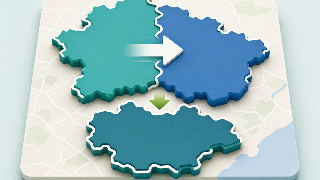
Support for councils reviewing, merging or consolidating gazetteers, GIS platforms, case-management data, public portals and spatial data services.

Specialist advice on GIS, gazetteers, case management workflows, data quality and implementation planning.
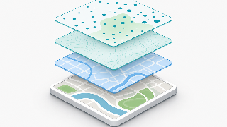
Prepare, host and publish mapping data for GIS, public portals and connected systems where configured and licensed.

Product support designed around long-term local authority software and data operations.

A direct route to StatMap support for product questions, issues and implementation help.

Training for Earthlight, public portal administration, eVO Flows and related StatMap product areas.

Cloud hosting options planned around the agreed deployment model, support arrangements and customer requirements.

Self-hosting considerations for authorities running StatMap software within their own infrastructure or managed environment.
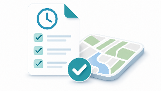
Service level and support arrangements agreed according to the customer service model and product scope.

Current procurement and framework information for public-sector software, support, hosting and data services.
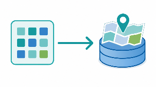
ETL, migration, transformation and data exchange between GIS, gazetteers, case systems and reporting tools.

Address matching, UPRN linking, gazetteer data and addressing workflows where configured and licensed.

Geocoding and address matching support for migration, GIS workflows, reporting and integration.
StatMap can help scope the migration, hosting, data and support work needed around your GIS or case-management project.