
Duplicated records
Address, street and property records can overlap when teams inherit multiple source systems.
Spatial data consolidation
Support for councils reviewing, merging or consolidating gazetteers, GIS platforms, case-management data, public portals and spatial data services.
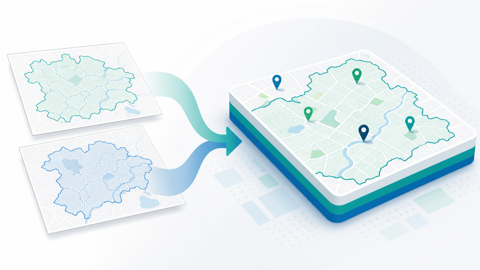
Organisational change can expose fragmented spatial data, duplicated gazetteers, legacy GIS platforms and service data dependencies. Many council services rely on shared address, map and case-management data, so consolidation work needs to be planned carefully.
The dependencies often include LLPG and LSG data, UPRNs and addresses, GIS layers, planning and building control data, land charges information, TRO and highways data, public-facing portals, reporting and integrations with other business systems.
Address, street and property records can overlap when teams inherit multiple source systems.
Different naming, coding, geometry and update practices can make trusted reporting harder.
Older platforms may not provide the access, security or integration model needed for the new organisation.
Layers, datasets and extracts need named owners before they can be improved or retired.
Planning, building control, land charges and other statutory services may rely on the same address and spatial data.
Changes to datasets can affect portals, public search, reporting and external links.
Moving data before checking quality and dependencies can lock old problems into a new platform.
Consolidation needs practical data-quality checks, not just file transfers.
Review LLPG, LSG, UPRN and addressing structures before migration or merger work begins.
Identify important layers, owners, formats, quality issues and business dependencies.
Plan how browser-based GIS, shared mapping and service-specific tools should fit together.
Map source systems, data formats, priorities and risks so implementation work is better sequenced.
Assess planning, building control and land charges data implications before operational changes are made.
Review public-facing search, reporting and map services that rely on consolidated data.
Plan APIs, extracts, data feeds and synchronisation between spatial systems and business applications.
Work with specialists who understand local authority spatial data, statutory workflows and hosted data services.
StatMap works with local authorities on GIS, gazetteer management, case-management workflows, public portals, data migration and hosted spatial data services.
That combination matters during consolidation work because the same data often supports several services at once. Address records, street data, map layers, planning constraints, land charges, reporting outputs and public portal searches all need to be understood as connected operational dependencies.
StatMap can help councils shape a practical plan that reflects LLPG and LSG requirements, spatial data quality, hosted OS mapping options, integration needs and the move toward browser-based access.
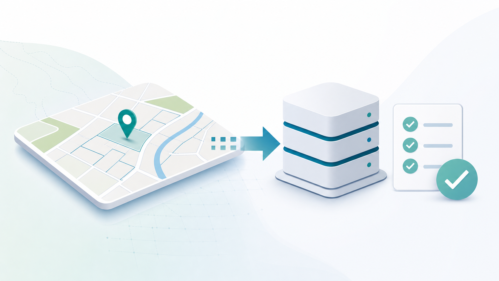
Why a unified LLPG and LSG should be ready from day one, and how eVO GMS can support legacy-system continuity and future transformation.
Talk to StatMap if you are reviewing gazetteers, GIS platforms, case-management data, public portals or spatial data services as part of organisational change.