
Map viewing and query
Give users access to relevant maps, layers and spatial searches through a browser.
Earthlight
Earthlight gives council teams browser-based access to maps, spatial data, editing tools and service-specific GIS applications without relying on desktop GIS for every user.
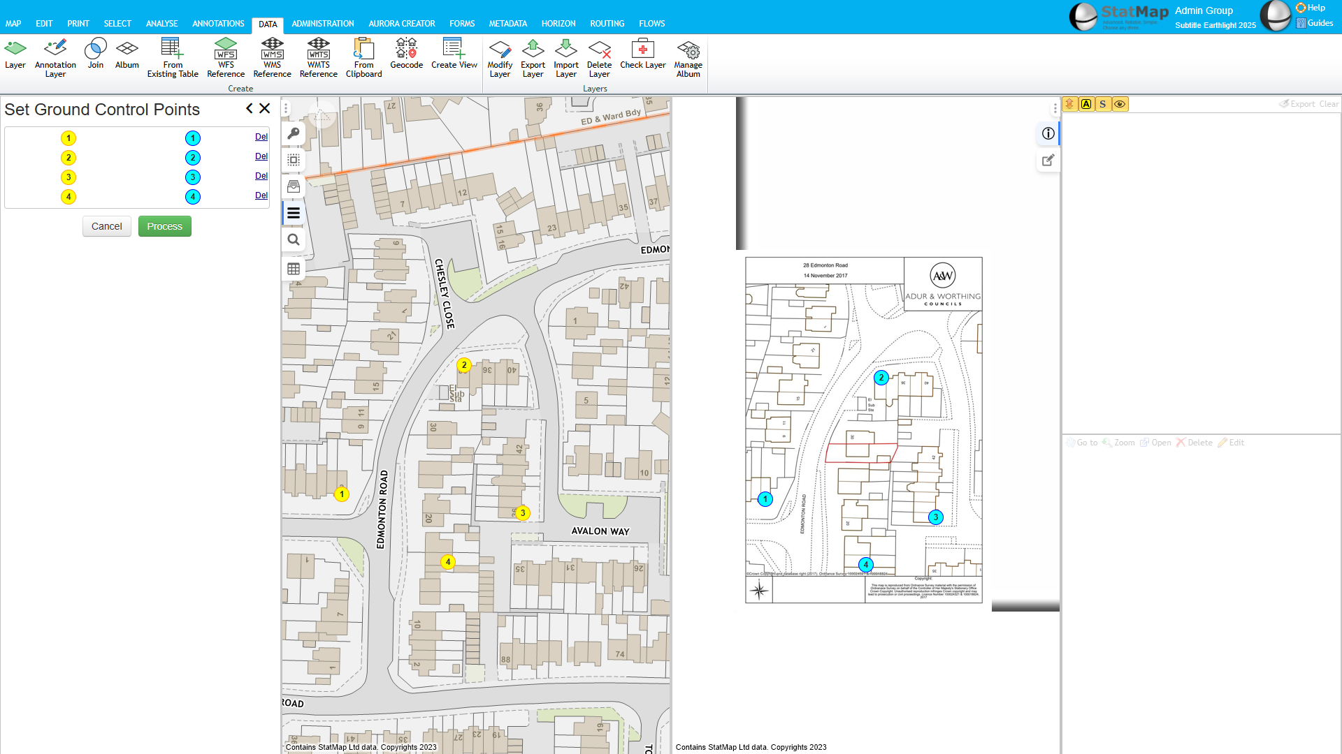
Earthlight provides maps and spatial data through a browser so more council teams can use GIS without needing locally installed desktop GIS for every routine task.
Specialist GIS users can still work with desktop GIS where that is the right tool. Earthlight gives wider teams a controlled web mapping environment for viewing, querying, editing and using spatial data in service-specific workflows.
Resolve brings address matching into your GIS workflow. Open an address list, match records to properties, UPRNs and map locations, then review probable matches with the map alongside. It is included at no extra cost for Earthlight customers. Explore Resolve →
Give users access to relevant maps, layers and spatial searches through a browser.
Organise and publish spatial datasets so teams can work with the right information.
Support controlled editing of spatial records, boundaries and operational layers.
Present datasets clearly with map styling, thematic views and visual analysis.
Create focused GIS applications for departments, workflows and operational teams.
Configure access so users see the maps, tools and datasets relevant to their role.
Use spatial information in summary views, reports and operational decision-making.
Connect web mapping with case management, documents and address-led processes.
Support public-facing mapping and customer access where those services are required.
Corporate GIS needs to work across departments without becoming a separate tool for every service. Earthlight can provide shared access to mapping and spatial data while still allowing service-specific tools and permissions.
Use spatial data alongside LLPG, LSG and addressing workflows.
Support search areas, constraints, property context and map-led checks.
Use GIS to support development management, constraints, boundaries and public information.
Support property, inspection and service data with spatial context.
Connect highways order management with map-led editing and publication.
Use hosted OS mapping, addressing and spatial data services alongside Earthlight.
Earthlight is part of StatMap's wider eVO platform for browser-based spatial applications, data services and case-management workflows.
The same platform approach helps councils connect maps, address data, documents, workflow and public-facing services. eVO Flows can also support configured applications and map-led workflows where a service needs a focused process rather than a general GIS screen.
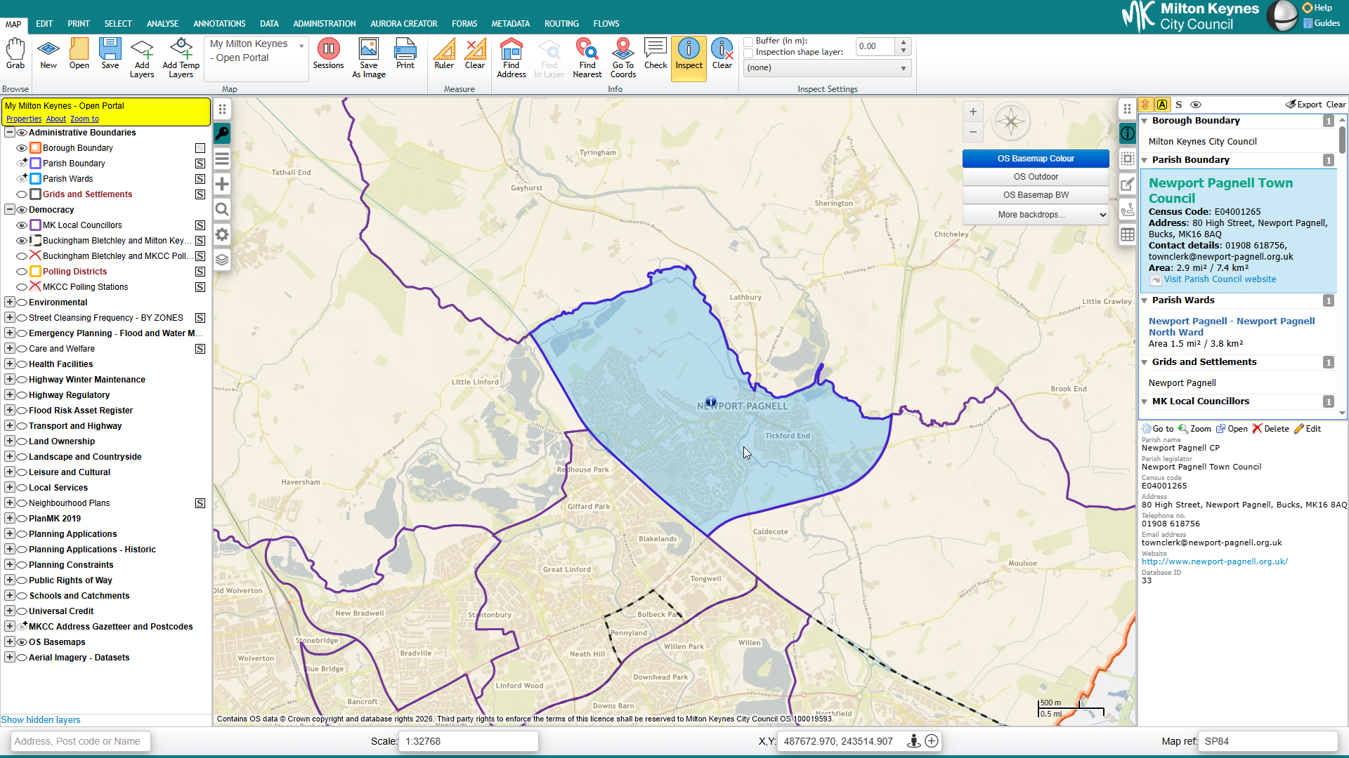
Using Earthlight to turn configured map queries into Word reports for workflows such as contaminated land searches, planning screening and constraints reports.
Short Earthlight product demonstrations covering browser-based mapping, layers, styling, printing and workflow behaviour.
Summary document for Earthlight hosted deployment.
Architecture reference for self-hosted Earthlight deployments.
Talk to StatMap if you are replacing desktop GIS workflows, extending web mapping across departments, improving spatial data access or building service-specific GIS applications.