
Spatial data audit
Review datasets, formats, ownership, quality, dependencies and service use before migration or consolidation work begins.
Spatial data services
Support for councils managing, migrating, integrating and maintaining the spatial data that underpins GIS, gazetteers, planning, building control, land charges, TROs and public-facing services.
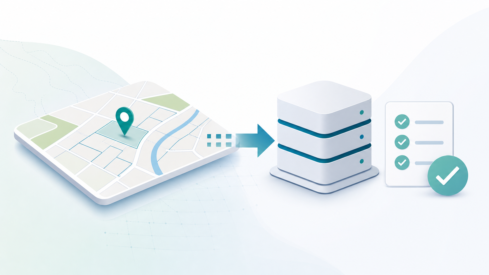
Spatial data is not just a GIS issue. It underpins gazetteers, UPRNs, address matching, service boundaries, basemaps, planning, building control, local land charges, Traffic Regulation Orders, public portals, reporting and system integration.
When councils replace systems, consolidate platforms or reorganise services, the quality and structure of that data often determines how smoothly the work can move forward.
Review datasets, formats, ownership, quality, dependencies and service use before migration or consolidation work begins.
Plan how data will move from legacy systems into appropriate GIS, gazetteer, case-management or reporting platforms.
Match existing address records to properties, UPRNs and map locations, ready for migration, reporting and integration.
Support address-led workflows using LLPG, LSG, UPRN and AddressBase-style datasets where configured and licensed.
Help councils prepare and use basemaps, operational layers and managed spatial datasets where configured.
Identify duplicated, incomplete or inconsistent records so teams can decide what to cleanse, retain or retire.
Prepare spatial layers for browser-based GIS, service workflows, public maps and reporting.
Transform and move data between GIS, gazetteers, case-management systems, portals and reporting tools.
Create extracts and views that help teams understand service activity, spatial patterns and operational dependencies.
Support councils bringing multiple datasets, systems or service areas into a clearer spatial data plan.
Legacy systems often contain duplicated, inconsistent or poorly documented spatial data. Migration is rarely just file conversion: councils need to understand data ownership, quality, downstream dependencies, public-facing services and the business rules that sit around each dataset.
StatMap can help plan, cleanse, transform and load data into suitable platforms, including browser-based GIS, gazetteer management, case-management workflows and public-facing services.
Using Earthlight to turn configured map queries into Word reports for workflows such as contaminated land searches, planning screening and constraints reports.
Why a unified LLPG and LSG should be ready from day one, and how eVO GMS can support legacy-system continuity and future transformation.
Address and street data is central to many council workflows. LLPG, LSG, UPRN and AddressBase-style datasets can help link records across services where they are configured and licensed for the authority's use.
Geocoding and address matching can help connect service records to places, which is especially useful when data is being migrated, consolidated or prepared for GIS, reporting or public access.
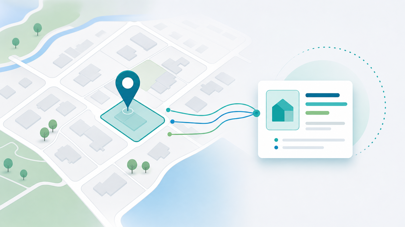
Council teams rely on accurate basemaps and operational layers to understand places, properties, constraints, service areas and public information. StatMap can help prepare, manage and publish spatial data for browser-based GIS and service workflows.
Those layers can support planning, building control, local land charges, TROs, gazetteers and public portals, depending on the authority's data sources and requirements.
Prepare spatial layers and data access for Earthlight corporate GIS and service-specific web mapping.
Support hosted mapping, operational layers and map services where configured for the authority.
Spatial data often needs to flow between GIS, gazetteers, case-management systems, public portals, reporting tools and third-party systems. Data integration work can help prepare, transform and move data where appropriate, using scheduled or configured processes where those are part of the implementation.
Plan data consolidation across gazetteers, GIS platforms, case-management systems and public portals.
Support LLPG, LSG, UPRN and addressing workflows around trusted gazetteer data.
Prepare spatial data, layers and access models for browser-based GIS.
Support search areas, constraints, property data and spatial checks.
Connect applications, inspections, addresses, documents and spatial context.
Support restriction data, street context, geometry and public-facing TRO information.
Prepare data for public-facing search, maps, application views and reporting.
Talk to StatMap if you are migrating data, consolidating systems, improving address matching, preparing GIS layers or connecting spatial data with council workflows.